MARA miniseminar: Mobility research in Estonia, Finland and Sweden
by Age Poom, Tobias Heldt, Kati Vierikko
In the end of 2019, MARA Nordic partners met in Helsinki to present and discuss mobility research in urban, rural and touristic settings.
Hosted by SYKE, the Finnish Environmental Institute, the seminar addressed mobility research interrelations with spatial planning and governance, stakeholder engagement in spatial and transportation planning, sustainable mobility challenges in remote and touristic settings, and various methods for acquiring, processing and analysing mobility data.
MARA is an InterReg Baltic Sea-funded project with the overall aim at addressing Mobility and Accessibility challenges in Rural Areas.MARA project activities, and the perspectives and challenges of various mobility data were presented by Kari Oinonen (SYKE), Age Poom (University of Tartu & University of Helsinki), Daniel Brandt and Tobias Heldt (both from Dalarna University). SYKE researchers introduced their studies on GIS use in urban and rural planning (Ville Helminen), rural mobility, accessibility and travel related to second homes (Antti Rehunen), public participatory GIS (Elina Nyberg) and the architecture of spatial data infrastructure in SYKE (Kaisu Harju).
Spatial planning and governance require data on people's mobility for smart decision-making: on local and regional, daily and seasonal, regular and irregular spatial behaviour. Countries that conduct national travel surveys collect data on regular travel patterns of local residents. This information is very powerful for addressing a number of goals, as also demonstrated by Antti Rehunen in the seminar. However, it tends to uncover travel that takes place occasionally, such as seasonal leisure travel. Remote touristic areas may face temporary population flows that reach the magnitude of a mid-sized city in spatial conditions that have not been optimised for serving such an amount of people smoothly and sustainably.
Several MARA partner regions, representing remote touristic areas such as Nordic ski resorts, are facing the above-mentioned problem. Within MARA project, they find out ways how to gain more meaningful data on mobility needs as well as on current mobility patterns in their region. The project also looks into the question on how to better manage local temporary travel flows. This involves both transportation as well as service infrastructure covering the full mobility behaviour of tourists, for example accessibility to cultural and natural amenities, sport facilities, accommodation, dining facilities or stores.
Currently, most regions lack explicit information on domestic and foreign tourist flows and their detailed mobility within the destination region. Apart from official statistics from accommodation service providers, traveller counts in local airports or data on ticket sales from touristic hotspots, questionnaires have been a convenient approach to address the mobility or activity of tourists in a region (Heldt and Mortazavi 2016). Spatiotemporally more explicit method is arranging GPS-supported tourist tracking campaigns during their stay in the region (Shoval and Ahas 2016). As GPS campaigns may be costly and require large managerial effort, other geocoded data collection methods such as use of destination card (Zoltan and McKercher 2015) or public participatory GIS (Kantola et al. 2018) are used in tourism studies. The latter method was also applied in the MARA project within the Kymeenlaakso regional survey of non-resident population (Vierikko et al. 2019). Subject to the survey design, the above-mentioned methods may reveal individual activity locations and times, mobility chains and travel modes, as well as semantic meaning and reasons behind individual mobility decisions. At the same time, a drawback with these methods is that they cover either rather small number of volunteering visitors or involve sample biases due to sample management and enrolment issues.
To cover larger population flows in the region, other digital mobility data sources would be handy. There is an increasing body of studies applying social media (Toivonen et al. 2019) or mobile phone data (Ahas et al. 2014) in tourism related research. Passive mobile phone data has proven to be a rich data source for analysing the spatiotemporal behaviour of large anonymous population groups. The University of Tartu has extensive experience in applying mobile phone data also in tourism studies (Ahas et al. 2007; Nilbe et al. 2014; Raun et al., 2016; Saluveer et al. forthcoming). In the seminar, Age Poom gave insights to mobile phone based research conducted in Estonia. The MARA project involves development of a Population Mobility Monitor that among other data sources applies mobile phone data to visualise regional population flows.
There are many regulatory and operational issues to be solved before passive mobile phone data can be used in research, for example to secure privacy protection of individual subscribers who serve as anonymous data providers. As mobile phone data becomes more and more accessible elsewhere, including Sweden (Östh et al. 2016) and Finland (Bergroth 2018), there are strong perspectives of using it also in the mobility management of remote touristic areas.
References
Ahas, Rein, Anto Aasa, Ülar Mark, Taavi Pae, and Ain Kull. 2007. “Seasonal Tourism Spaces in Estonia: Case Study with Mobile Positioning Data.” Tourism Management 28(3):898–910.
Ahas, Rein, Jimmy Armoogum, Siim Esko, Maiki Ilves, Epp Karus, Jean-Loup Madre, Ossi Nurmi, Francoise Potier, Dirk Schmücker, Ulf Sonntag, and Margus Tiru. 2014. Feasibility Study on the Use of Mobile Positioning Data for Tourism Statistics - Consolidated Report. Eurostat.
Bergroth, Claudia. 2018. The 24-h population dynamics of the Finnish Capital Region uncovered! https://blogs.helsinki.fi/accessibility/2018/10/09/the-24-h-population-dynamics-of-the-finnish-capital-region-uncovered/
Heldt, Tobias and Reza Mortazavi. 2016. “Estimating and Comparing Demand for a Music Event Using Stated Choice and Actual Visitor Behaviour Data.” Scandinavian Journal of Hospitality and Tourism 16(2):130–42.
Kantola, Sini, Marja Uusitalo, Vesa Nivala, and Seija Tuulentie. 2018. “Tourism Resort Users’ Participation in Planning: Testing the Public Participation Geographic Information System Method in Levi, Finnish Lapland.” Tourism Management Perspectives 27:22–32.
Nilbe, Kati, Rein Ahas, and Siiri Silm. 2014. “Evaluating the Travel Distances of Events Visitors and Regular Visitors Using Mobile Positioning Data: The Case of Estonia.” Journal of Urban Technology 21(2):91–107.
Östh, John, Aura Reggiani, Laurie Schintler. 2016. Resilience in Spatial and Urban Systems 2. Presentation at Advanced Brainstorm Carrefour (ABC): ‘Smart People in Smart Cities’ Matej Bel University, Banská Bystrica, Slovakia (August, 2016).
Raun, Janika, Rein Ahas, and Margus Tiru. 2016. “Measuring Tourism Destinations Using Mobile Tracking Data.” Tourism Management 57:202–12.
Saluveer, Erki, Janika Raun, Margus Tiru, Laura Altin, J. Kroon, T. Snitsarenko, Anto Aasa, and Siiri Silm. Forthcoming. “Methodological Framework for Producing National Tourism Statistics from Mobile Positioning Data.” Annals of Tourism Research.
Shoval, Noam and Rein Ahas. 2016. “The Use of Tracking Technologies in Tourism Research: The First Decade.” Tourism Geographies 18(5):587–606.
Toivonen, Tuuli, Vuokko Heikinheimo, Christoph Fink, Anna Hausmann, Tuomo Hiippala, Olle Järv, Henrikki Tenkanen, and Enrico Di Minin. 2019. “Social Media Data for Conservation Science: A Methodological Overview.” Biological Conservation 233(January):1–18.
Vierikko, Kati, Kari Oinonen, Kimmo Nurmio, and Eva Glińska. 2019. Guidance for Stakeholder Involvement and Public Participation – MARA Interreg Project Report. Helsinki.
Zoltan, Judit and Bob McKercher. 2015. “Analysing Intra-Destination Movements and Activity Participation of Tourists through Destination Card Consumption.” Tourism Geographies 17(1):19–35.
------------------------
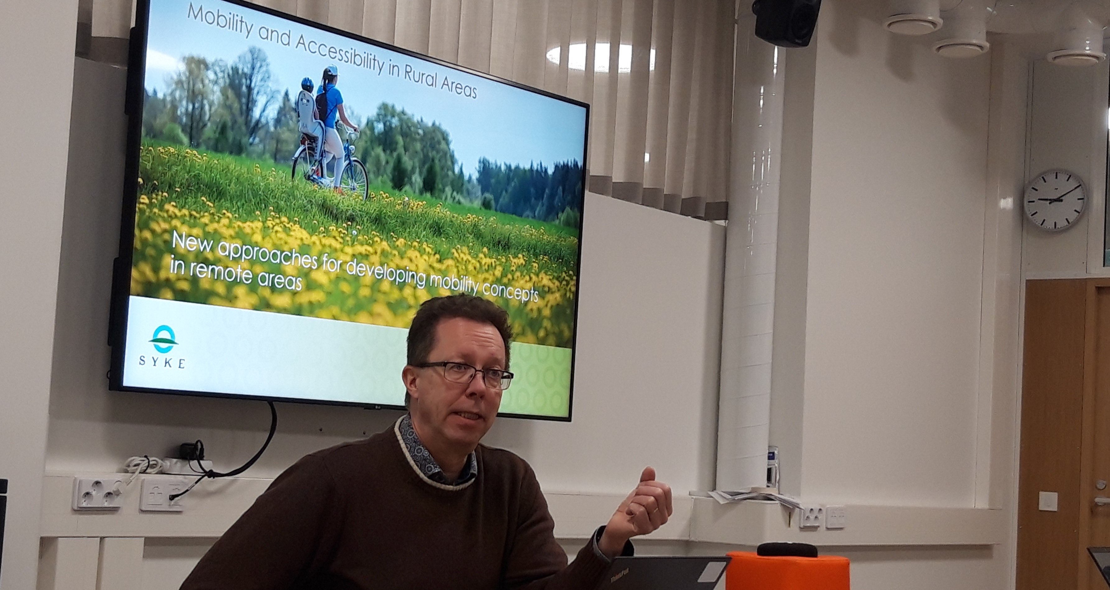
In the picture: Kari Oinonen (SYKE), Image credit: Age Poom (c.)